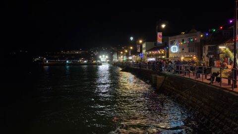
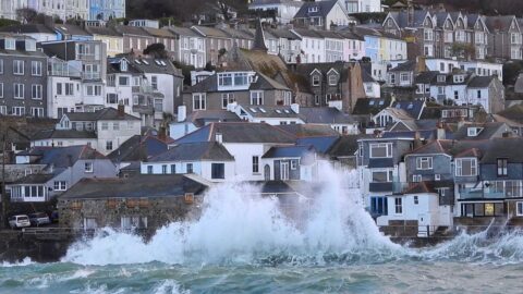
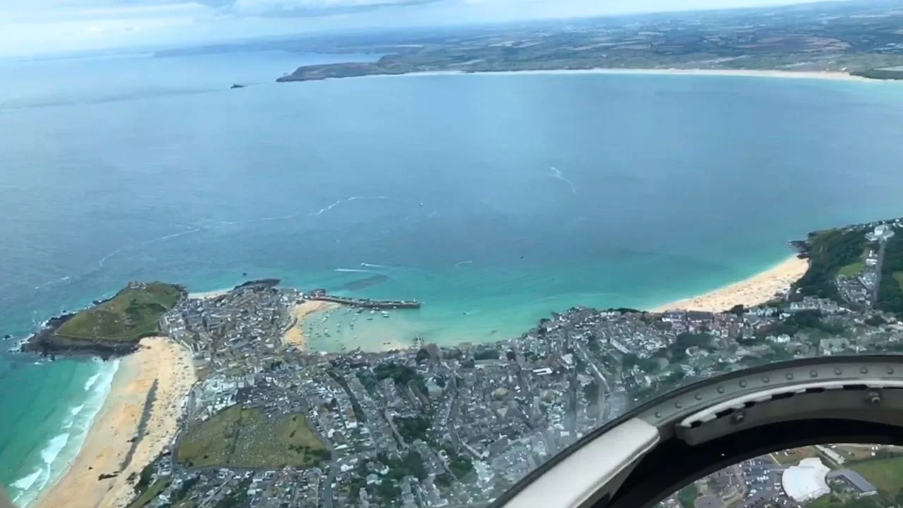
St Ives is known for its picturesque harbour and sweeping bay, but during periods of extreme high tides the water level can rise significantly, occasionally leading to flooding along the harbourfront. When tidal conditions combine with strong onshore winds or low pressure, seawater may overtop the quay and surrounding areas, creating challenges for local businesses and an impressive sight for onlookers.
Why St Ives Floods On Very High Tides
Two ingredients combine here, unusually high astronomical tides and onshore storm conditions. St Ives sits inside a wide, open bay that faces the Atlantic, so when strong winds and low pressure arrive at the same time as a spring or perigean spring tide, also called a king tide, sea levels can temporarily rise even higher through surge and wave setup, pushing water onto the quay, the slipways, and occasionally into shopfronts around the harbour.
How Tides Work Here
Spring tides happen twice every lunar month when the sun and moon’s gravity line up, producing larger-than-average highs and lower-than-average lows. A few times a year these coincide with the moon being closest to Earth, perigee, which produces perigean spring tides, often called king tides, and those are the ones locals keep a close eye on. Around the autumn equinox, tides can be especially large, sometimes dubbed “super tides” by the Environment Agency.
A Short History Of High Water In St Ives
St Ives has seen its share of dramatic high water. Records note fluvial and tidal flooding affecting Hayle, Lelant, and St Ives in December 1983 when storms, gales, and high tides combined across West Cornwall. Older accounts describe serious town flooding when water thundered down the Stennack valley after prolonged rain, turning streets into torrents long before modern forecasting. More recently, red-warning storms like Eunice in February 2022 brought exceptional seas across Cornwall, with St Ives experiencing heavy overtopping and spray around the harbour.
Smeaton’s Pier, Two Lighthouses, And The Harbour
Smeaton’s Pier, built between 1767 and 1770 by engineer John Smeaton, is the signature structure guarding the harbour. It even includes a reservoir at its base that fills on the flood tide to help calm wave energy inside the basin. The pier was extended by roughly 300 feet in the 1890s, which is why St Ives famously has two harbour lighthouses, the older short light on the original end and the taller one on the extension.
What To Watch On A High Tide Day
- Check the tide times and look for spring or perigean spring tides, especially around the equinoxes.
- Note the pressure and wind forecast, deep lows and strong onshore winds raise water levels further.
- Expect overtopping first along exposed edges of the harbour, slipways, and Lambeth Walk, with splash and spray around the pier and seawalls.
- Respect temporary closures near the pier, the slip, and the lifeboat station when seas are running.
Safety Tips
Enjoy the spectacle from a sensible distance, wear waterproofs and grippy shoes, keep dogs and kids back from edge spray zones, and never step onto algae-slick surfaces or stand on the seaward side of railings when waves are breaking. Follow on-site advice from harbour staff and the RNLI.
Watch My October 2023 Video
I filmed the high water in October 2023, capturing the harbourfront flooding. It is embedded at the top of this blog so you can see exactly how quickly conditions changed on the peak of the tide.
Practical Info For Visitors
- Best viewpoints when it is safe, along the inner harbour, the top of the slip by Smeaton’s Pier, and the higher sections of Wharf Road.
- When to go, around high tide on big tide days, but arrive early, parking and paths can be restricted if seas are overtopping.
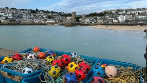
- Local context, St Ives is a working harbour with a handline fleet operating from Smeaton’s, so give boats, tractors, and crews space even when the water is up.
Final Thoughts
Extreme high tides are part of St Ives’ living coastal story. From eighteenth-century engineering to modern forecasting, the town has always balanced beauty and exposure. On those rare days when the numbers line up and the Atlantic surges in, watch with respect, stay safe, and enjoy one of Cornwall’s most dramatic natural shows.