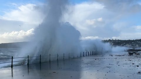
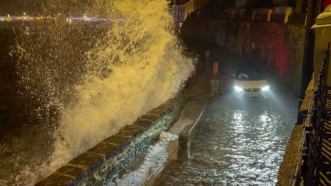
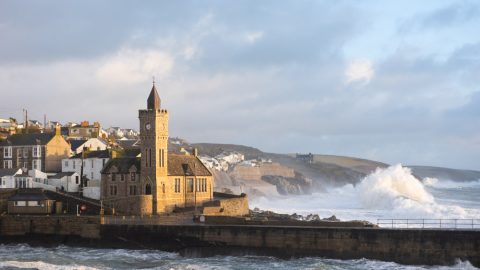
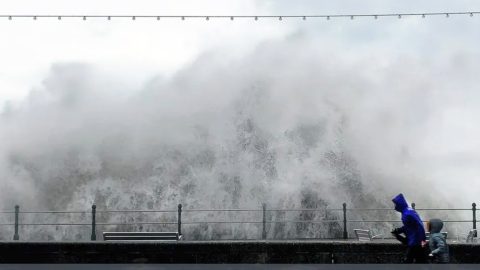
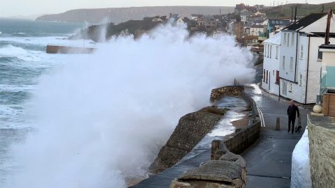
The tail end of Hurricane Erin was passing well out in the Atlantic on this August day, but its influence could still be felt along the Cornish coast. At Lands End the ocean was noticeably unsettled, with rough, churning seas being driven in by long period swells generated far offshore. It wasn’t severe weather here in Cornwall, but the remnants of the storm were enough to create lively and fast moving conditions around the headland.
From the viewing points you could see powerful lines of swell rolling toward the cliffs, rising and steepening as they approached the rocky shoreline. The sea surface constantly shifted in texture, with deeper troughs forming before lifting into breaking crests that sent spray drifting across the water. It made for a striking contrast with the rugged granite landscape that defines this part of the coast.
Late summer often brings more energetic seas as the Atlantic becomes more changeable, and distant storms like Erin can still have a noticeable effect even when they remain far from land. Lands End, being one of the most exposed locations in Cornwall, is usually the first place to show signs of these offshore systems.
I filmed a short video to capture the movement of the water, and it gives a clear sense of how the tail end of a storm thousands of miles away can still shape the sea state here. It’s a reminder of how connected Cornwall is to the wider Atlantic weather patterns, even on days when the conditions don’t meet the definition of a local storm.